Plan your stages, get daily morning briefings, navigate with offline maps, and track every step. One free app from start to finish.
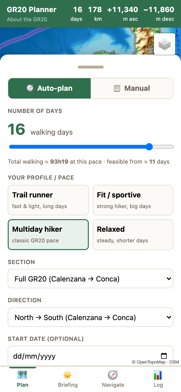
See Features ↓No hiking app plans your GR20 for you. Set your days and fitness level — the algorithm splits the trail into optimal stages across refuges and bergeries. Or go manual with rest days. No spreadsheets, no guesswork.
Try the Planner
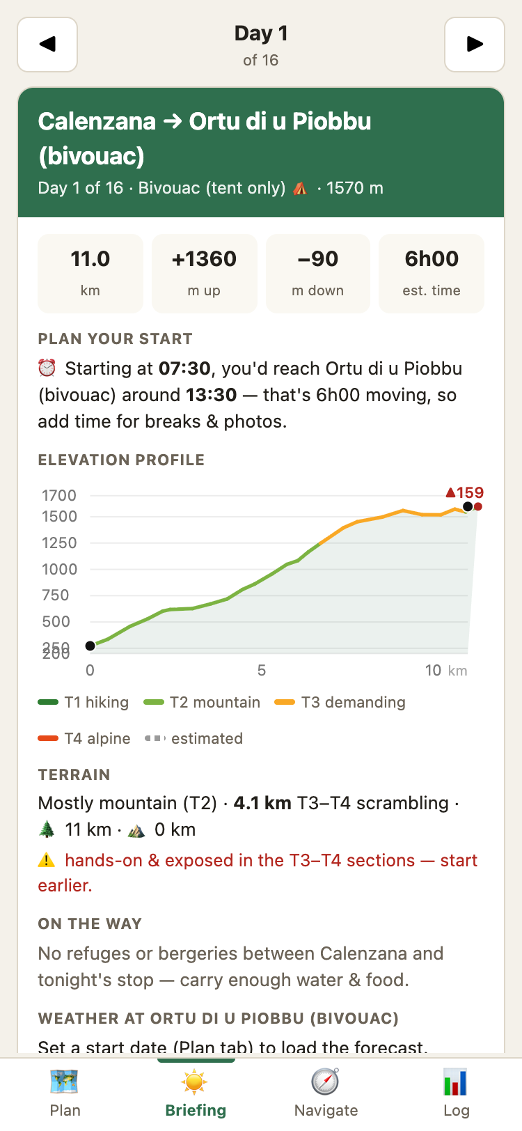
No other app gives you this. Each morning: today's distance, elevation, weather, water points and key waypoints — plus your booking reference. One screen, ready to go before you lace up.
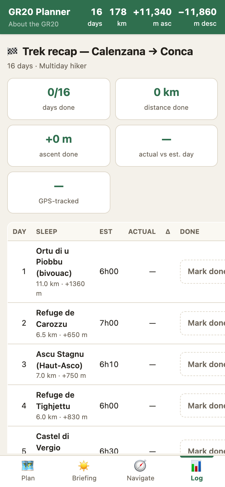
Mark arrivals, track actual vs. planned times, and see your daily stats build up. Distance, ascent, and duration logged day by day — your GR20 diary in numbers, without writing a word.
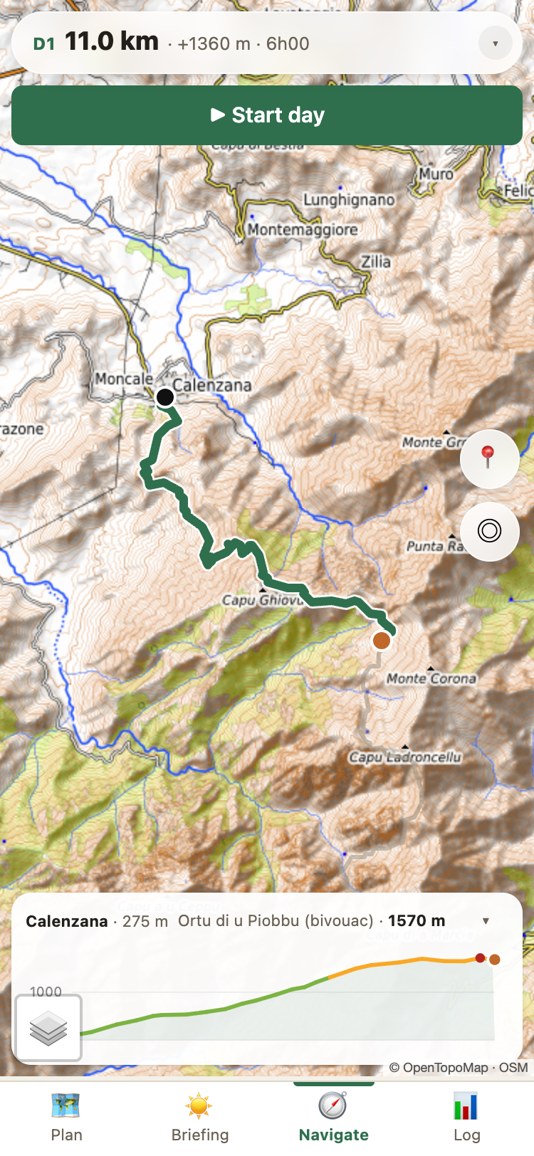
Every stage color-coded by steepness with technical sections highlighted.
Including bergeries and bivouacs other apps miss. Booking links, distances, facilities.
Download your planned route or recorded track as GPX. Share with friends or load into any GPS device.
Refuges full? One tap watches every night of your plan. Availability is re-checked every 30 minutes and you get a push notification the moment a spot frees up.
I built RandoNav because I couldn't find a single app that actually plans the GR20 for you. Every tool out there is generic — made for any trail, good for none. This one knows every refuge, every bergerie, every water point. It's the app I wished I had on my own GR20.
All 26 stops with altitude, facilities and booking links.
Distances, climbs and walking times for every fitness level.
How many days, north or south, booking and the best season.
Free, offline, no account needed. Works on any phone.